
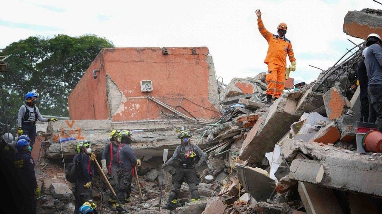
On August 15 at 4:58 a.m. local time, a magnitude 7.7 earthquake struck off the coast of the Indonesian island of Flores, in East Nusa Tenggara Province. Its focus was located at a depth of only about 9.3 miles, which made the impact at the surface especially severe.
The most serious consequences were recorded in the regencies of West Manggarai, East Manggarai, Nagekeo, and Sikka. The tremors damaged residential buildings, schools, medical facilities, and other structures. According to Indonesia’s National Disaster Management Agency, more than 900 homes sustained serious damage.
As of August 17, at least 68 people had been killed in the earthquake, while more than 200 others were injured.
The earthquake also triggered a tsunami. Sea-level fluctuations were recorded in four provinces, while the maximum wave height reached about five point three feet. This measurement was recorded in East Manggarai Regency.
The main shock was followed by a series of powerful aftershocks. By 11:00 a.m. on August 17, specialists had already recorded 1,624 seismic events. Fifty-nine of them were felt by residents, while the strongest aftershock reached a magnitude of 6.2.
Because of the continuing seismic activity and the risk of further collapses, many residents did not return to their damaged homes. People spent the nights in tents, under makeshift shelters, or simply outdoors. About 5,000 people were evacuated, with some accommodated in temporary camps and at a sports complex.
The intense shaking triggered numerous landslides. Fallen soil and debris blocked several roads, including one of the island’s main transportation arteries, the Trans-Flores Highway. Some communities were cut off, forcing rescue teams to clear debris in order to restore access.
The situation was further complicated by communication outages, which interfered with the normal coordination of rescue operations. More than 3,500 military personnel and police officers were deployed to the hardest-hit areas to deal with the aftermath of the disaster.
On the same day, another strong earthquake struck Indonesia, this time in North Sumatra, nearly one thousand eight hundred sixty-four miles from Flores. It occurred at 5:54 p.m. local time, approximately twelve point four miles southeast of Simalungun Regency. Its focus was located at a depth of about 101 miles.
Magnitude estimates differed among seismological agencies. Indonesia’s Agency for Meteorology, Climatology, and Geophysics estimated it at 6.4, while the United States Geological Survey put it at 6.9.
However, because of the great depth of the focus, the impact at the surface was considerably weaker than might have been expected for an earthquake of this magnitude. No serious destruction or loss of life was recorded following this earthquake.
Although people in Indonesia are accustomed to earthquakes, as the country lies in one of the most seismically active regions of the world, two powerful earthquakes occurring on the same day in different parts of the country stand out even against this background and draw attention to the surge in seismic activity.
Stay informed about climate events happening around the world.
Publication of this material provides an opportunity for open discussion and does not in itself imply institutional endorsement, confirmation, or scientific verification of the views expressed. The material does not constitute an official statement, expert opinion, or professional advice.